

![]()
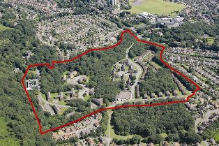
Geographical survey, address selection
With payloads HD zoom camera or 3D radar mapper, combining with geographic image sensor and using oblique photography technology, UAV supports measurements for landform architecture, geological assessment and location selection.By loading the HD zoom camera or 3D radar mapping device to survey the landform and select the address.
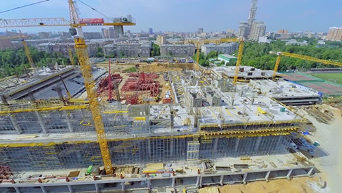
Real time monitoring of construction site
To monitor the construction site by controlling the UAV for following the construction progress, managing the field resources and increase the working efficiency.
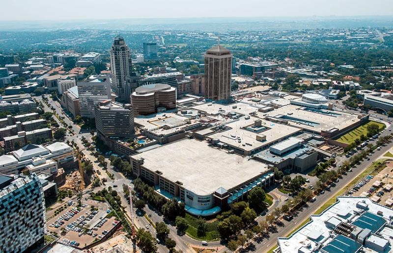
Layout Plan, Urban Reconstruction
By integrating the payload of HD zoom camera with the geographic image sensor to get the accurate land conditions for 2D/3D models, It’s suitable for layout plan and urban reconstruction.
Quality Detection, Risk Elimination
By loading the 30x HD zoom camera and the HD image transmission system, drones detect details of the construction site, and inform constructors to correct mistakes by broadcasting the project supervisor's voice through loudspeaker.
One-key to aerial Photography with Panorama Scan
The scenery of the construction in different angles or full view can be captured in high resolution by aerial photography from drones to realize the best advertising effect.
Virtual Display, VR House Inspection
By integrating the captured aerial photos and videos with visual reality technology, drones are applicable to real estate exhibitions and online presentations.
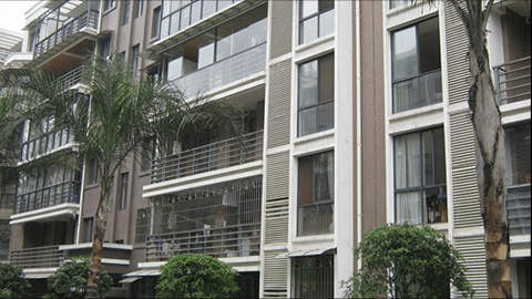
Residential Security Inspection
Applying to the residential security, drones implement inspection at designed timing and route, which enable images acquisition of windows in real time. Based on the collected data from drones, damaged window glass or unidentified objects are detected through comparing with normal images. Detection results are reported to the security center, which provides judgment reference for security officers.
Estate Management and Environmental Inspection
Drones implement thorough, accurate and efficient inspection to the blind sides of human patrol for residential sanitation, water or water leakage points, high places, roof and high illegal buildings, which is of great help to residential estate management.
● With the advantages of flexible response, wide vision, real-time image of transmission, 3D evidence, simulation modeling to complete the land mapping and planning with high efficiency.
● With the advantages of low cost and small risk, It will be easy for the controller or pilot to control the flight route and flight height so that we can survey the target area again and again to get the abundant resource data.
● It provides a new way for the planning and designing of construction real estate, and offer a new vision for the advertisement of real estate.